By: Lou Del Bello
Send to a friend
The details you provide on this page will not be used to send unsolicited email, and will not be sold to a 3rd party. See privacy policy.
In this month’s programme, we discover how technology is turning mapping into a powerful tool for supporting development and tackling humanitarian crises.
First, at the launch of the Missing Maps Project in London, United Kingdom, we join volunteers as they help to map two vulnerable areas in the Central African Republic and South Sudan, using satellite imagery to create basic maps to which local volunteers will add place names.
Then we speak to Anna Mason from MapAction, a charity that provides mapping services after disasters, to learn more about the satellite technology underlying open mapping work.
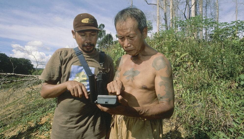
In Congo, we discover how mobile phones help researchers fight poaching. An icon-based phone application enables people — who may be unable to read and write — living in the forest to record and map areas at risk.
Finally, we discover how a data repository is helping journalists and policymakers understand the complex water system of the Tibetan plateau, also known as ‘the Third Pole’, which provides water that more than a billion people rely on for drinking or to irrigate crops.


