By: Clare Kemp and Lou Del Bello
Send to a friend
The details you provide on this page will not be used to send unsolicited email, and will not be sold to a 3rd party. See privacy policy.
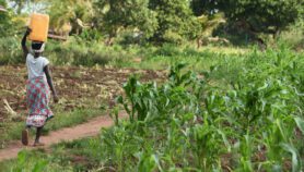
Last week, 5 June, aid organisation Médecins Sans Frontières reported new cases in the Ebola outbreak in Guinea and Sierra Leone. The priority for NGOs and health workers is to deliver appropriate aid in the fastest and most effective way. To do so, it is vital to have a clear picture of the area affected by Ebola and relevant trends.
In this podcast, two experts discuss how satellite technology and open-source mapping can help with such humanitarian work, highlighting successes and challenges.
One encouraging example is a programme coordinated by the Humanitarian OpenStreetMap Team (HOT). It has provided aid workers with an interactive map to help them keep track of the disease’s spread and of news related to the outbreaks. The collaborative map displays publicly available data and other resources that can be read or downloaded.
Explore the official HOT interactive map below to find out more about the spread of Ebola in West Africa, the local conflicts surrounding it and what aid organisations are doing to help. Please note that some of this content is in French.
Legend for map
Green: presence of doctors/NGOs/health checkpoints
Black: deaths (confirmed or unconfirmed)
Purple: news reports
Yellow: suspected cases
Light blue: cases of people who recovered from Ebola
Red: local protests
More on Aid