Send to a friend
The details you provide on this page will not be used to send unsolicited email, and will not be sold to a 3rd party. See privacy policy.
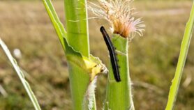
[WINDHOEK] A new satellite data centre in Namibia will help farmers prepare for droughts, floods, bushfires and pests.
The Earth Observation and Satellite Applications Research and Training Centre (EOSA-RTC), was launched this month (6 July) in collaboration with the African Monitoring of the Environment for Sustainable Development programme (AMESD). It is located at the Polytechnic of Namibia and comprises a satellite data receiving station and data centre, which will provide data useful for agriculture.
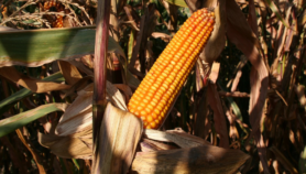
The data, which will be provided free to farmers’ associations and government departments, will include water indices, rainfall estimates, and maps of soil moisture content.
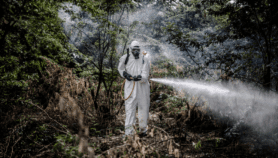
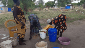
Reliable data is essential to preparing for natural disasters. Earlier this year Namibia was hit by record floods, although rainfall is generally scarce. Wildfires are expected to wreak havoc in the current dry season.
"Rain is important for Namibia. Mistakes based on wrong information can be costly. For subsistence farmers, it can be the difference between having food or not," said Marina Coetzee, a researcher at EOSA-RTC and a senior lecturer at the polytechnic.
"We will use the satellite to detect and map unknown small water bodies. We will also store ‘normalised different vegetation indices’ [measure of vegetation on the ground] and then further process them into a variety of value-added products — these we will make available with extra text to help people to understand and interpret the information," said Coetzee.
Not all vegetation has leaves so even if it looks green it does not mean there is no problem. Remote sensing, therefore, serves as an early warning system for a failed harvest, said Celeste Esbach, researcher at the polytechnic.
Coetzee added: "We can predict where the problems are popping up with regard to wildfires, grazing for livestock, water scarcity, or viability of crops".
Namibian researchers have already been assessing raw data obtained directly from satellites. But the new centre will now provide specific, useful indices coming from that data, making interpretation easier.
The centre receives low- and medium-resolution satellite images from the international data service, Eumetcast, which disseminates meteorological data, from a variety of satellites, such as the Meteosat satellite above the equator.
From next month Namibia will be linked to the AMESD programme that circulates a range of geographic data and maps relating to crops, droughts and wildfires to Southern African Development Community (SADC) countries.
Johan le Roux, head of the National Remote Sensing Centre said they will now get the processed information from the centre instead of relying directly on satellites, making it easier to use remote sensing software and products.
The polytechnic also cooperates with the Cape Peninsula University of Technology (CPUT) in South Africa on research, building small satellites, and designing applications for satellite imagery.
More on Farming