By: Amantha Perera
Send to a friend
The details you provide on this page will not be used to send unsolicited email, and will not be sold to a 3rd party. See privacy policy.
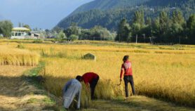
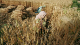
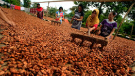
[COLOMBO] Sri Lankan agricultural experts plan to use new satellite imagery developed by the International Rice Research Institute (IRRI) in the Philippines and the European Space Agency (ESA) to forecast rice crops that are now seen to be increasingly vulnerable to changing climate.
“With a capacity to monitor weather conditions and other factors like water availability, continuously, we can advise farmers on what to expect,” says Amitha Bentota, head of Sri Lanka’s Rice Research and Development Institute (RRDI). “Presently, we lack round-the-clock capacity and our predictions reflect the lack of data.”
The IRRI has developed a mosaic of images from ESA’s Sentinel-1A satellite covering over seven million square kilometres of South and South-east Asia. Sentinel’s ‘synthetic aperture’ cameras can monitor the earth’s surface even during rain and cloud cover, allowing continuous monitoring of agriculture.
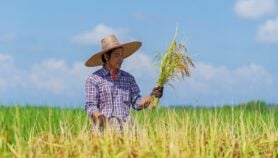
“If such (continuous) mapping is available it would be really useful, because then we would know what kind of a harvest we will get. Now we have to wait till the last moment to know whether we will lose a harvest,” L. R. Jayatissa, a farmer from Degamadulla district in Sri Lanka’s east, tells SciDev.Net.
IRRI officials say that mapping with high-resolution cameras on board satellites was not available previously due to high costs, but ESA is now providing the images free of cost.
“This programme will allow rice yield estimates be made available early, even in the middle of the season. This will allow rapid appraisal of yields which is a key factor in improvement of area-based yield insurance programmes,” Tri D. Setiyono, an IRRI scientist working on the programme, tells SciDev.Net.
Setiyono said high-resolution maps across large areas can be used to take advantage of existing irrigation infrastructure. The maps and imagery can also be used to detect pest infestations and help disease management and time harvests.
Bentota said that accurate predictions can be used to advise governments on whether or not to import food stocks, instead of waiting for a harvest to crash.
Setiyono tells SciDev.Net that no country in the region has so far begun using the programme, but pilot projects are being planned in the Philippines, Thailand, Vietnam and Cambodia.
Data developed through the programme will be put up on a web portal for wider dissemination.
Just recently, IRRI made publicly available online as an Amazon Web Services cloud, the 3,000 rice genomes they sequenced together with the Chinese Academy of Agricultural Sciences and the Beijing Genomics Institute. Their aim is to help researchers analyse rice genetic information anywhere and possibly accelerate the pace of developing improved varieties.
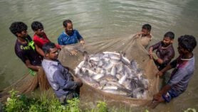
Asia has some 140 million hectares under rice, representing 90 per cent of the global extent of rice paddies. Most rice-growing countries reported to be affected by changing climate patterns.
This article has been produced by SciDev.Net's South Asia desk.
More on Agriculture