By: Shahani Singh
Send to a friend
The details you provide on this page will not be used to send unsolicited email, and will not be sold to a 3rd party. See privacy policy.
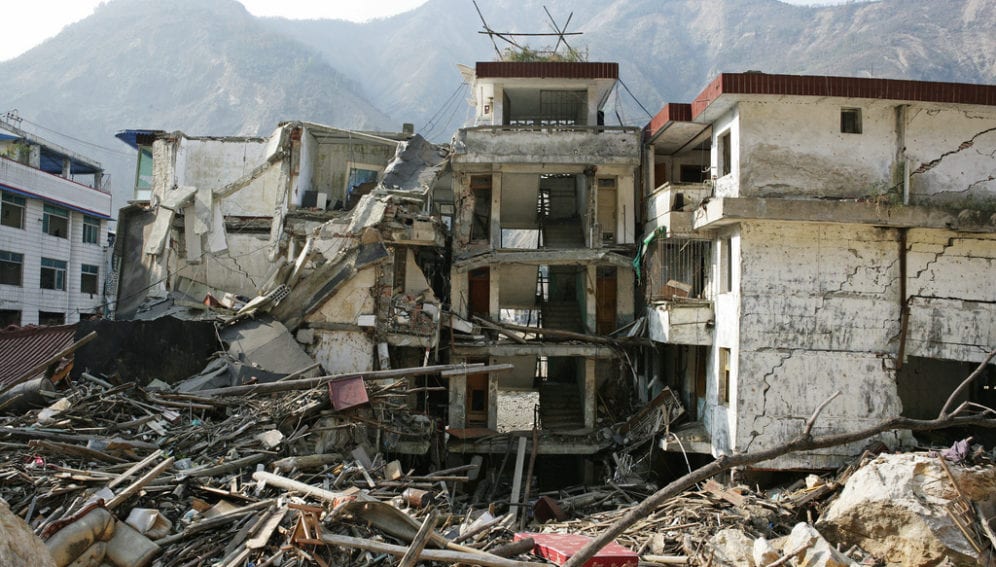
[KATHMANDU] An international team of scientists has devised a new method to identify spots that could be used as public shelters in Kathmandu in the event that the city is hit by a major earthquake.
The method, Open Space Suitability Index (OSSI), was developed by scientists from the Heidelberg University and the Karlsruhe Institute of Technology in Germany in collaboration with experts from Nepal. Its details are to be published in the Journal of Natural Hazards and Earth System Sciences this month (July).
The OSSI ranks shelter sites based on their capacity, access to services, environmental conditions and road networks, and combines these criteria to develop a holistic assessment of post-disaster risk. It covers physical damage projected for a certain place and the social circumstances of affected people.
“We are lacking in an integrated assessment standard and method that captures both physical risk and social vulnerability to be able to adequately describe the risks people, businesses and governments face,” says Johannes Anhorn, lead author and PhD candidate at the South Asia Institute (SAI) of Heidelberg University.
“Such an integrated understanding is the basic aim of the Integrated Earthquake Risk Assessment for the Himalayan Region, a project within SAI,” Anhorn tells SciDev.Net.
The report lays emphasis on “pre-event planning and preparedness for emergency shelter placement” to identify the most appropriate locations for emergency shelters to help coordinate aid organisations' responses after disaster strikes.
A map representation of OSSI shows, for instance, the distribution of building blocks that have an open space that can serve as a shelter, compared to blocks without such spaces.
“Of the 887 spaces identified for the study, 83 have been endorsed by the government,” says Ganesh K. Jimee, disaster preparedness manager at the National Society for Earthquake Technology (NSET) in Nepal.
These approved spaces, identified with the help of the International Organisation for Migration office in Nepal, are to become the ‘backbone’ for facilities like emergency hospitals, according to Anhorn.
“However, experience from Gujarat (in India) and Pakistan show that people go to nearby spaces, not big spaces far away from their home. In a place like Kathmandu, with haphazard urban planning, we must identify small open spaces too,” explains Jimee.
NSET has identified numerous smaller areas like courtyards and schools that are difficult to manage and maintain with critical services, but can serve as important first shelter sites, Anhorn says.
The study’s results estimate that of the 342,300 persons likely to seek shelter in open, public spaces within Kathmandu Metropolitan City, in the event of a disaster, 253,900 can be accommodated.
> Link to Journal of Natural Hazards and Earth System Sciences
This article has been produced by SciDev.Net's South Asia desk.


