By: Sarah Ooko
Send to a friend
The details you provide on this page will not be used to send unsolicited email, and will not be sold to a 3rd party. See privacy policy.
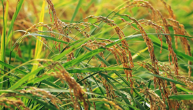
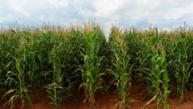
[NAIROBI] Scientists have used satellite images to map soil health across Sub-Saharan Africa.
The online maps, produced by the World Agroforestry Center (ICRAF) — a Kenya-based research institution that is part of the CGIAR agricultural research consortium — show how organic matter, nutrients and acidity vary across the region.
The first set of these maps, unveiled for currently limited use last month (4 June) took more than three years to produce and other such maps examining vegetation cover, rate of water absorption and crop suitability for different soil types in Sub-Saharan Africa are on the way.
The researchers collected the information from soil samples drawn from 24 African countries representing different climatic zones in the region, such as those with high rainfall or high temperatures.
ICRAF collected data on different soil properties across Sub-Saharan Africa that were combined with National Aeronautics and Space Administration (NASA) satellite images to produce maps showing the state of soil health, such as areas suffering from high soil erosion or those with high nutrient levels.
The initiative, which aims to produce accurate and up-to-date soil information to support African farmers, was conducted from 2009-2012.
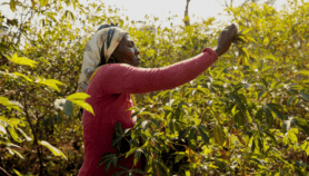
"Soils here keep changing based on how they are used or managed. For instance, they may gain carbon due to manure application then lose it again due to overgrazing. These changes need to be captured," says Tor-Gunnar Vagen, a senior scientist at ICRAF and principal investigator for soil health mapping in the Africa Soil Information Service.
The maps are also providing information on the prevalence of land degradation caused by soil erosion or compacted soil that restricts root growth.
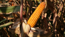
"The new maps can be used to monitor changing soil quality.”Farmers can, for example, identify emerging threats such as low nutrient levels and add fertiliser to enrich the soil and increase crop productivity," says Vagen. They will be updated continually.
Farmers can also go back in time by studying the maps to determine, for instance, the levels of organic matter present in their land 20 years ago, he says. "They can, therefore, tell whether their soil health has improved or declined and take appropriate measures," he adds. The data goes back 30 years.
Whereas traditional soil maps highlight aspects such as soil structure and mineral content that cannot easily be changed, the new maps focus on properties such as erosion and nutrient levels that can be more easily altered, says Leigh Winowiecki, a soil scientist for the African Soil Information Service.
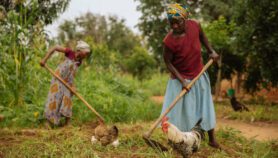
"Pastoralists in northern Kenya may not be able to do much about their soil texture," she says, "But by applying cattle manure to their land, they will prevent erosion, improve water absorption into the soil, create a good environment for root growth, and increase pastures for their livestock."
"Public access to some of the maps is still limited as the researchers now want to refine the digital maps and make them more user friendly. Most will be available within the course of this year," says Vagen.
This article has been produced by SciDev.Net's Sub-Saharan Africa desk.
More on Agriculture