Send to a friend
The details you provide on this page will not be used to send unsolicited email, and will not be sold to a 3rd party. See privacy policy.
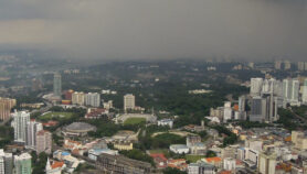
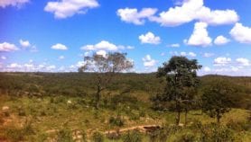
[CAIRO] Claims that climate change will leave 4,000 square kilometres of Egypt under water and ten per cent of the population homeless have led to a dispute within the academic community about the country’s environmental future.
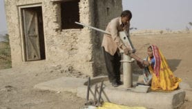
An ‘Atlas of Risks of Climate Change on the Egyptian Coasts and Defensive Policies’, launched at a press conference in Cairo last month (3 November), surveyed the threats facing Egypt’s 3,500 km coast and found that a one metre sea-level rise would destroy up to 12 per cent of the country’s agricultural land and force large numbers of people to leave their homes.
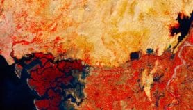
The book used more than 700 colour images from NASA satellites to illustrate detailed topographic, geological and geographic features of Egypt’s coastline, comparing its current state with that predicted for the next century.
Khaled Ouda, the book’s author and palaeontology professor at Assiut University, Egypt, called for preventive efforts such as building deep seawalls, sandy dams, bridges and land barriers to counter the invasion of the sea into the Nile Delta.
"The government has taken no action until now to protect Egypt from such threat," he said at the book’s launch.
The Egyptian government has also come under criticisms from the media and other organisations for failing to take a stance and comment on Ouda’s study.
"The government’s response so far has not lived up to the desired action … They did nothing, although a copy of the atlas reached the Presidency of the Council of Ministers nearly two months ago," said Al-Masry Al-Youm daily newspaper in November.
But the atlas’s conclusions have since been challenged by other academics, who said the book has made inaccurate and unsupported predictions.
"This atlas was built on collecting different researchers’ work and ecological papers, and it included some incorrect information," Wahid Moufaddal, a coastal remote sensing specialist and marine geologist, told SciDev.Net.
He added that the book confuses the varying influences of different phenomena, like soil expansion, and impacts of existing dams along the Nile river with global warming.
Mohamed El-Raey, professor of environmental physics at Alexandria University, in Egypt, praised the book for drawing media attention to climate change problems in Egypt, but argued that resolution of the images used by the atlas was not high enough for proper analysis.
Moufaddal added that the inaccuracies stem from the fact that the book uses satellite images as the main source of information to make predictions.
More on Earth science