By: Paulo Rebêlo
Send to a friend
The details you provide on this page will not be used to send unsolicited email, and will not be sold to a 3rd party. See privacy policy.
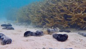
The global threat that insecticides pose for aquatic biodiversity has been revealed in a recent modelling study that pinpoints areas at greatest risk.
The mapping exercise conducted by the researchers reveals that aquatic life in water bodies within 40 per cent of the global land surface is at risk from insecticides running off the land.
Published in Environmental Pollution last month (30 December), the map of potential insecticide contamination hotspots could assist freshwater management and conservation efforts as it highlights areas where damage mitigation should be concentrated.
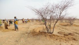
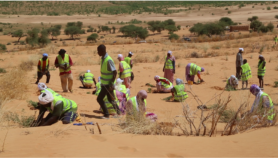
One researcher behind the study, Matthias Liess, from the Helmholtz Centre for Environmental Research in Germany, explains that tropical and subtropical regions need to pay urgent attention to threats of biodiversity loss from insecticide use. Farmers in many developing countries are changing from subsistence farming to market-oriented intensive crop farming, the study notes.
“It is very helpful for environmental risk assessment and environmental management to have the information on insecticide occurrence on the landmass of countries. We can then identify where to find exposure hotspots, and where it is most relevant to plan mitigation measures,” adds Liess.
Mitigation methods include buffer strips, alongside water bodies which are free of insecticide use, says Liess, who also suggests more efficient environmental management to combat the risk.
The study used existing maps and databases such as the UN Food and Agriculture Organization’s data on country use of insecticides, to produce a global map showing runoff vulnerability, or how likely it is that rainwater will run off the land into water bodies based on the slope of the terrain and rainfall; and the runoff hazard related to the amount of insecticide used.
The two are combined into a global insecticide runoff map showing how much insecticide is likely to contaminate water bodies.
Luiz Cláudio Meirelles, a researcher at the National School of Public Health at the Oswaldo Cruz Foundation, a biomedical research institute in Brazil, says such specific maps are useful for countries like Brazil that currently lack them.
“There is a huge lack of information on everything related to agriculture and insecticide usage,” says Meirelles.
The FAO has warned that some developing countries are using insecticides that are banned in developed countries, he adds.
“But there’s a catch: countries such as Brazil have a larger biodiversity than other countries and this will always lead to more pests,” Meirelles says. “Without proper data, resources and political will, we cannot provide more useful information and improve management efforts.”
Political will is key for mitigation, he says, because high insecticide use is often related to valuable agricultural exports from Brazil and other countries.
More on Biodiversity