18/01/20
Ganges delta waters may rise over a meter by 2100

By: Claudia Caruana
Send to a friend
The details you provide on this page will not be used to send unsolicited email, and will not be sold to a 3rd party. See privacy policy.
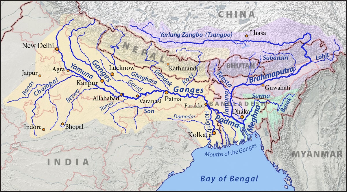
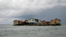
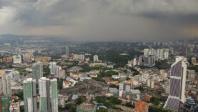
[NEW YORK] New estimates of land subsidence and water-level rise in the Ganges-Brahmaputra-Meghna (GBM) delta, that straddles Bangladesh and the Indian state of West Bengal, portend a grim future for an area that has one of the highest population densities in the world.
According to the estimates recently published in the journal PNAS, water level rise in the GBM delta could reach between 85 and 140 centimetres by 2100. This is far higher than the 52—98 centimetre rise in sea levels by 2100 estimated by the Intergovernmental Panel on Climate Change in its fifth assessment report published in 2013. The GBM delta, spanning 87,000 square kilometres in Bangladesh and West Bengal, is Asia’s largest and the world’s most populated delta with approximately 110 million people.
“Unlike many other deltas, the GBM delta is highly vulnerable to climate change”
A.K.M. Saiful Islam, Bangladesh University of Engineering and Technology
Lead author Mélanie Becker, research director at Laboratoire Littoral Environnement et Sociétés, France, believes understanding and forecasting sea-level rise critical thresholds along low-lying heavily populated tropical coastlines are “among the most vital societal issues. There is a current knowledge gap for priority populated areas and more specifically those of Bangladesh”.
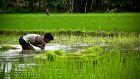
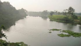
Deltas are interface between continents and oceans and are of low altitude. Thus, rising sea levels can increase salinity in the water and soil and destroy crops and, along with it, food security.
The researchers reconstructed water-level changes during 1968—2019 using a set of 101 gauges measuring water and sea level across the delta. They learned that over the last 45 years, water level fluctuations in the delta increased slightly faster than the global mean sea level. But from 2005 onward, they observed acceleration in the water rise in the western section of the delta.
Becker says, “The originality of our study is to use a large existing network of local data to extract a coherent, effective signal representing water-level variations at the regional scale. We extract from the noise (local process and measurement errors) a common coherent signal from the sea/water gauges network.”
A.K.M. Saiful Islam, an author of the study and professor at the Institute of Water and Flood Management, Bangladesh University of Engineering and Technology, tells SciDev.Net: “Unlike many other deltas, the GBM delta is highly vulnerable to climate change”.
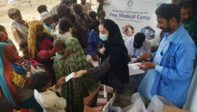
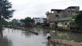
Islam says that to reduce the vulnerability of the Bengal delta to the impacts of climate change and natural disasters, several measures should be taken immediately such as building coastal polders (embankments), cyclone shelters, improving early warning systems for cyclone, storm surges and tidal flooding.
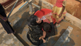
“Developing salt-tolerant varieties of rice, expanding coastal afforestation programmes, mainstreaming climate change in development planning and implementing drinking water and sanitation programmes” are other measures that need to be taken to protect the people, he says.
C.K. Shum, professor at the School of Earth Sciences, Ohio State University, Columbus, notes that “knowledge of long-term (five decades) water level trends on the GBM as well as the severe alluvial sediment induced land subsidence in the large river basin and coastal Bangladesh remain elusive”.Shum says the scientific results and findings of the study would allow more accurate sea-level forecasting which can be used by decision-makers and policymakers to better plan or undertake sea-level and flood disaster management that would alleviate the risk.
Moreover, the results of the study, says Shum, could improve forecasting accuracy for storm-surge induced and climate episode-driven coastal inundation linked to the El Nino and La Nina phenomena. “Such hazards directly impact the livelihood of people in the Bangladesh deltaic region, in terms of disaster caused by saltwater intrusion into soil and groundwater and influence coastal fisheries including shrimp farming.”
This piece was produced by SciDev.Net’s Asia & Pacific desk.
More on Water

