By: Smriti Mallapaty
Send to a friend
The details you provide on this page will not be used to send unsolicited email, and will not be sold to a 3rd party. See privacy policy.
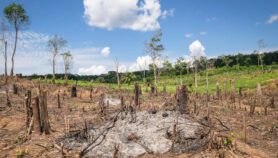
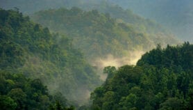
[KATHMANDU] Nepal has begun reassessing the state of forests in the politically sensitive southern Terai plains following a national woodlands survey, the results of which were published five months ago.
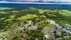
According to the survey, Nepal has close to six million hectares of forests and another half-a-million hectares of shrub land, which adds up to 45 per cent of its total surface area, compared to the 38 per cent reported in the previous assessment in 1995.
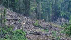
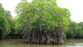
Most of Nepal’s forests lie in the middle mountains — the heart of community forestry. Still, tree volume remains the lowest in this region, with the higher mountainous regions retaining the tallest, broadest trees.
“Most people think that the higher in altitude you go, the less stock you find, but in Nepal it is the opposite,” says Yam Pokharel, deputy director-general, department of forest research and survey.
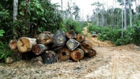
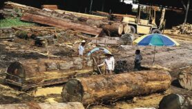
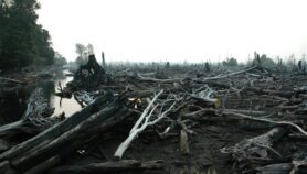
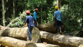
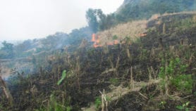
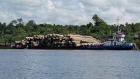
Forests in the southern belt of the Himalayan range, known as the ‘churia region’, are most affected by disturbances such as grazing, fires, landslides and local bush cutting. However, tree and branch cutting is highest in the Terai where, according to Pokharel, the team has begun assessment work before moving north towards the mountains.
High-resolution satellite imagery and extensive field measurements have drastically reduced the mapping resolution from 50,000 metres in the early 1970s to five metres, says Pokharel. “This allowed us to recognise small patches of forest that previous assessments using aerial photographs could not.”
Nepal’s Intended Nationally Determined Contributions, submitted to the UNFCCC in February 2016, in advance of signing the Paris Agreement on 22 April, promise to reduce annual deforestation rates in the Terai by 0.05 per cent, and enhance its total forest carbon stock by five per cent by 2025 against 2015 levels.
The 2015 survey’s carbon analysis found that Nepal’s trees, soils and leaf litter store one billion tonnes of carbon, equivalent to 70 per cent of Japan’s total greenhouse gas (GhG) emissions in 2014 alone.
Programmes such as REDD+ intend to pay developing countries for protecting their forests using carbon credits sold to developed countries. Nepal “aims to put in place a forest carbon trade and payment mechanism and mainstream community/ecosystem-based adaptation by 2025,” states the UNFCCC report.
“In order to benefit from global carbon finance mechanisms, developing countries need to have a baseline against which future performance of reducing GhG emissions can be measured,” explains Rajesh Koirala, carbon finance specialist at the World Bank, which currently manages the forest carbon partnership.
According to Koirala, while more intense regional sampling might be necessary “the current assessment is certainly an important step forward”.
This piece was produced by SciDev.Net’s South Asia desk.
More on Forestry