By: Katie Mantell
Send to a friend
The details you provide on this page will not be used to send unsolicited email, and will not be sold to a 3rd party. See privacy policy.
|
|

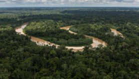
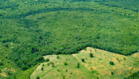
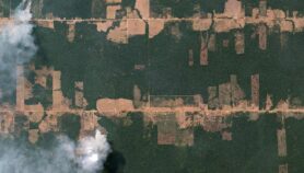
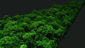
The extent of global deforestation is significantly less than previously thought, according to a satellite-imaging study.
A group of European-based researchers used global satellite imagery and new statistical techniques to estimate the amount of tropical humid forest lost between 1990 and 1997.
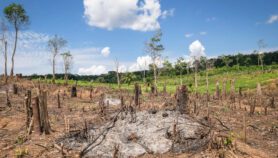
They found that deforestation rates were 23 per cent lower than estimates by the United Nations Food and Agriculture Organisation, which used on-the-ground measurements.
While this may appear to be good news, annual losses still amount to 5.8 million hectares (nearly twice the area of Belgium), and an additional 2.3 million hectares per year have been visibly degraded.
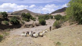
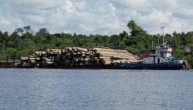
The highest deforestation rates were in South East Asia, followed by Africa and South America.
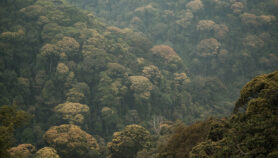
The new findings will have major implications on estimates of global carbon fluxes, and are likely to influence strategies that look to forests as ‘sinks’ for carbon emissions.
© SciDev.Net 2002
Photo credit: Hugh Eva
More on Forestry