Send to a friend
The details you provide on this page will not be used to send unsolicited email, and will not be sold to a 3rd party. See privacy policy.
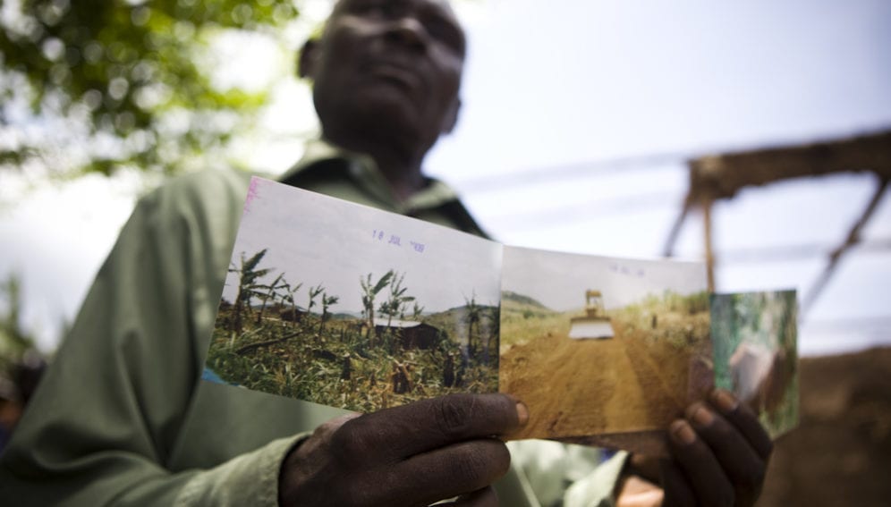
The total area of land controlled by foreign investors globally is similar to the size of Poland, according to the most up to date estimates contained in an online database that aims to document large-scale land acquisitions or 'land grabs'.
The database, called the Global Observatory, reveals that investors have acquired 32.8 million hectares since 2000 — up from its 2012 estimates of 26.2 million hectares.
Land grabs are often not conducted openly, which has made them difficult to monitor. However, the revamped online tool, revealed this month (10 June), allows for the crowdsourcing and visualisation of data as well as the verification of sources of such data, to promote transparency and accountability in land and investment decisions.
Most of that land has been acquired in Sub-Saharan Africa, with the top three investor countries being the United States, Malaysia and the United Arab Emirates.
Land grabbing has recently moved to the forefront of the international development agenda.
"This amount of information, as imperfect as it may be, is still greatly preferable to totally missing or unreliable data because there were wild swings in estimates before this database."
Ruth Meinzen-Dick
Following the global rise in food prices in 2008, investors and some foreign governments bought land in the global South — often parcels totalling thousands of hectares — to try to cash in on agricultural commodities and secure food supplies.
Advocacy groups claimed that these deals dispossessed traditional land users, often smallholder farmers or pastoralists who relied on the land for their livelihood. Critics also pointed out that investors' promises to increase economic activity by developing related large-scale agricultural or biofuel projects have often come to nothing. And a recent study found that, along with land, significant amounts of fresh water are also being grabbed.
The consortium of research institutions behind the Land Matrix, a global land monitoring initiative that developed the Global Observatory, hopes that having reliable data on deals will increase accountability.
"The aim of the Land Matrix is to create more transparency about this issue by highlighting the facts," says Markus Giger, head of the Global Change Cluster at the University of Bern, Switzerland, who is working on the database.
While the latest figures from the Global Observatory show an increase in land acquisitions, Giger says this reflects the database's new methodologies and verification of data more than real-world changes.
Giger admits that the estimates may not be completely accurate as they rely on information from stakeholders themselves.
"It is quite a task to have factual and precise information about each land deal," he says. "We try our best to provide correct information, but there is always a degree of uncertainty involved."
Nonetheless, these numbers represent the first real data set on the global scale of land grabbing, according to Ruth Meinzen-Dick, a senior researcher at the International Food Policy Research Institute, United States.
"This amount of information, as imperfect as it may be, is still greatly preferable to totally missing or unreliable data because there were wild swings in estimates before this database," she says. "Now at least there is something a bit more rational to look at."
See below for a video about Land Matrix:


