By: Mike Ives
Send to a friend
The details you provide on this page will not be used to send unsolicited email, and will not be sold to a 3rd party. See privacy policy.
[HANOI] Inexpensive video cameras have aided a group of scientists studying shoreline dynamics in Vietnam, says a study due for publication soon.
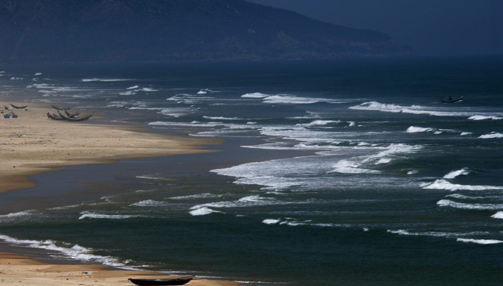
In the study, a team of science researchers using video camera techniques monitored the changes on a beach in the coastal Vietnamese city of Nha Trang from May to November 2013.
The remote-sensing technology, combining a blend of low-cost video cameras and software, helped the team discover that Typhoon Nari and Typhoon Haiyan that hit Vietnam last year caused “significant” beach erosion, the study found.
But although waves from the typhoons caused nearly 12 metres of total erosion, the beach seems to have recovered well, says Rafael Almar, a researcher at the LEGOS laboratory in Toulouse for the Institute of Research and Development, a public science and technology research institute under the French government.
Almar tells SciDev.Net coastal dynamics are often studied with global positioning systems (GPS) that cost 20,000 euros and are normally used once every few months in a given location. But the cheaper technology, he points out, costs around 1,000 euros and can be used every day.
“It’s a very nice tool,” says Almar, noting that the relatively inexpensive price of the video cameras makes the technology perfect for application in developing countries.
The preliminary results of the research study indicate that the monitoring technique on shoreline changes in Nha Trang beach is “very significant.” According to the study, the novel method will play an “important role” in the calibration and verification of numerical models for forecasting the long-term evolution of estuarine and coastal changes in Vietnam. This will help provide “appropriate solutions for coastal protection”.
He says the main applications of the video camera system include identifying the erosion risk or the impact of storm surges on beaches, determining the volume of sediment deposition, and studying the characteristics of tidal fluctuations and wave run-up and impacts in coastal areas.
Rob Holman, an oceanography professor at Oregon State University in the United States, tells SciDev.Net by email: “The study underscores the growing worldwide use of low-cost remote sensing systems to study coastlines.”
“In contrast to most oceanography research, the important processes on the beach and in the surf zone are visible from shore and can be well sampled using either video cameras or marine radars. They do not require expensive in-situ sampling," Holman says.
“The availability of ongoing, low-cost data on the response of our coasts to storms and stress is a game changer for society,” he stresses.
But Almar points out that although the study suggests Nha Trang’s shoreline is highly dynamic and capable of recovering swiftly after a typhoon, an unanswered question is whether a greater frequency of storms, linked to climate change, would eventually hamper that resilience.
This article has been produced by SciDev.Net's South-East Asia & Pacific desk


